
General Interest Maps
Our most popular maps including a full city of Red Deer map in printable 8.5 x 11 format as well as our Parks and Trails map.

Our most popular maps including a full city of Red Deer map in printable 8.5 x 11 format as well as our Parks and Trails map.
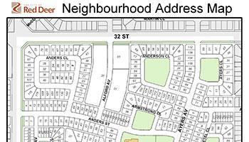
Print or download our small-size neighbourhood maps for your next bottle drive or event.
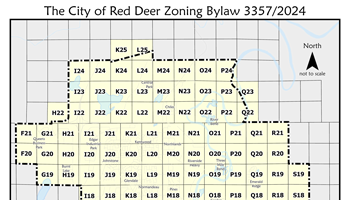
Maps relating to our Zoning Bylaw.
Links to Transit route maps and schedules
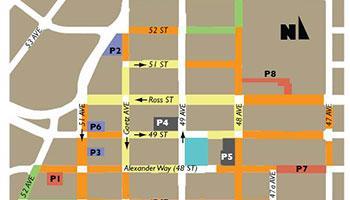
Find out where you can park downtown and the rates that apply.

A selection of parks and trails maps for various areas throughout Red Deer.
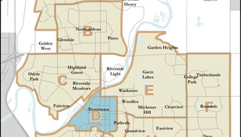
The City is divided into 11 snow zones. These maps will help you find your snow zone and which route you live on.
Information about our city's truck routes, dangerous good routes and the high and wide load corridor around Red Deer.
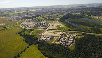
Find City-owned land opportunities for current residential, commercial, mixed use, social care and industrial land.

Maps created from data accessed through the CCEDNet Community Data Program.